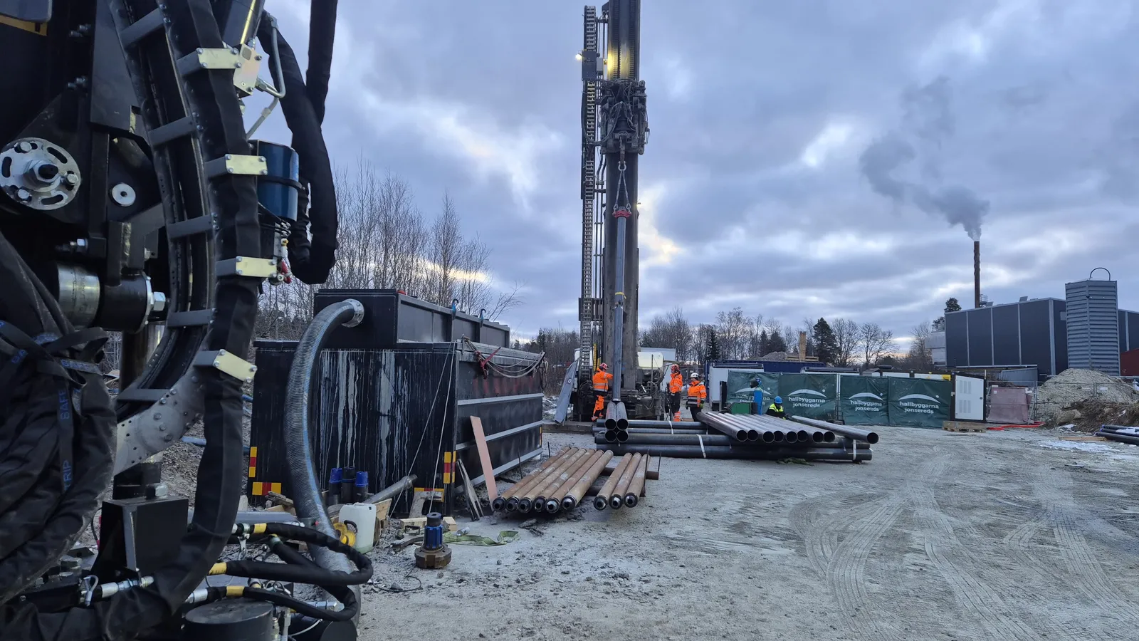
Keep drilling moving
Property-specific planning, GM2000 and GMair35 controls, and GM Tracker records give your project a controlled, visible drilling sequence.
Software and system observability
Geocadia connects field controls, automation, robotics and drilling records around your borehole. Your team gets clearer progress, earlier visibility when conditions change and traceable evidence for handover.
Discuss your propertyDrilling technology · Current capability and roadmap
Site planning, equipment handling, operator controls and drilling records work together. Follow the drilling sequence and carry its evidence into handover.
Property-specific planning, GM2000 and GMair35 controls, and GM Tracker records give your project a controlled, visible drilling sequence.
RobotArm automated rod handling, GMair35 compressor control and coordinated worksite modules reduce manual handoffs and support steadier delivery.
Add a connected digital twin, AI-assisted analysis and expanded robotics to keep system performance visible, identify issues earlier and plan maintenance and future work with better evidence.
Available now · Delivery observability
Field controls and drilling records create practical delivery observability today. The field team can see status and deviations earlier, while your property team receives clearer progress and evidence for handover.
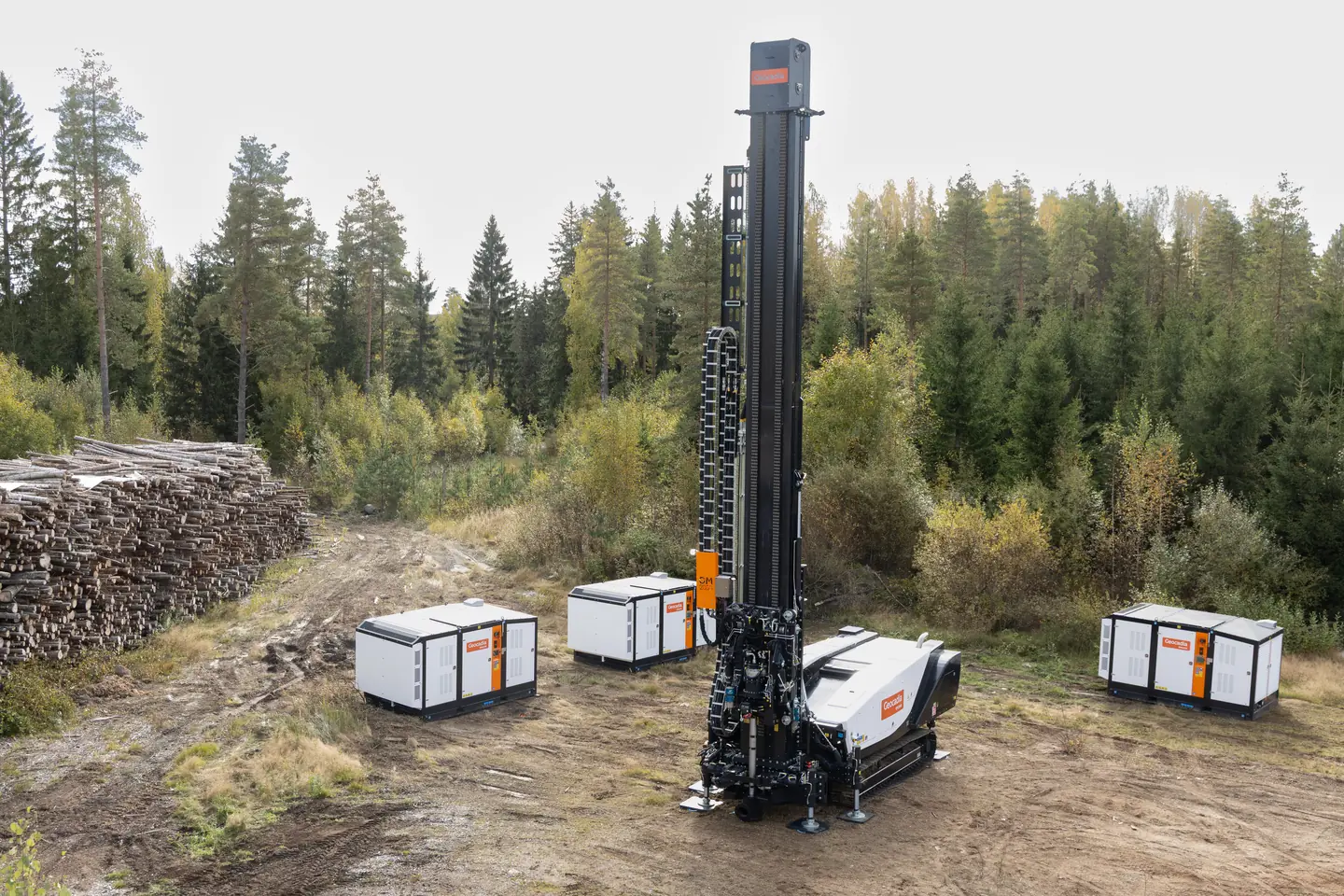
Live rig, compressor and drilling records give the field team one operating picture. Your property manager receives a traceable commissioning record for handover and operations.
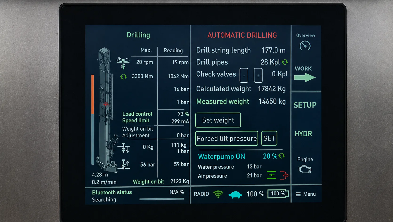
Drill-string status, load, speed, water pressure and air pressure stay visible as the borehole advances, helping the team respond sooner when conditions change.
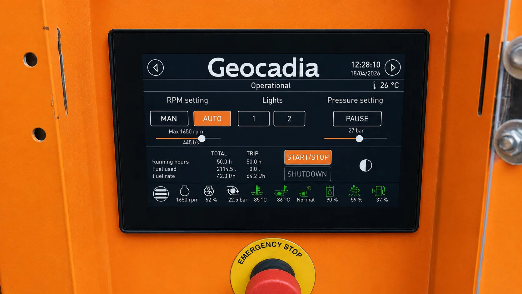
RPM, pressure, operating state and temperatures are gathered in one view so the drilling team can maintain a steadier field sequence.
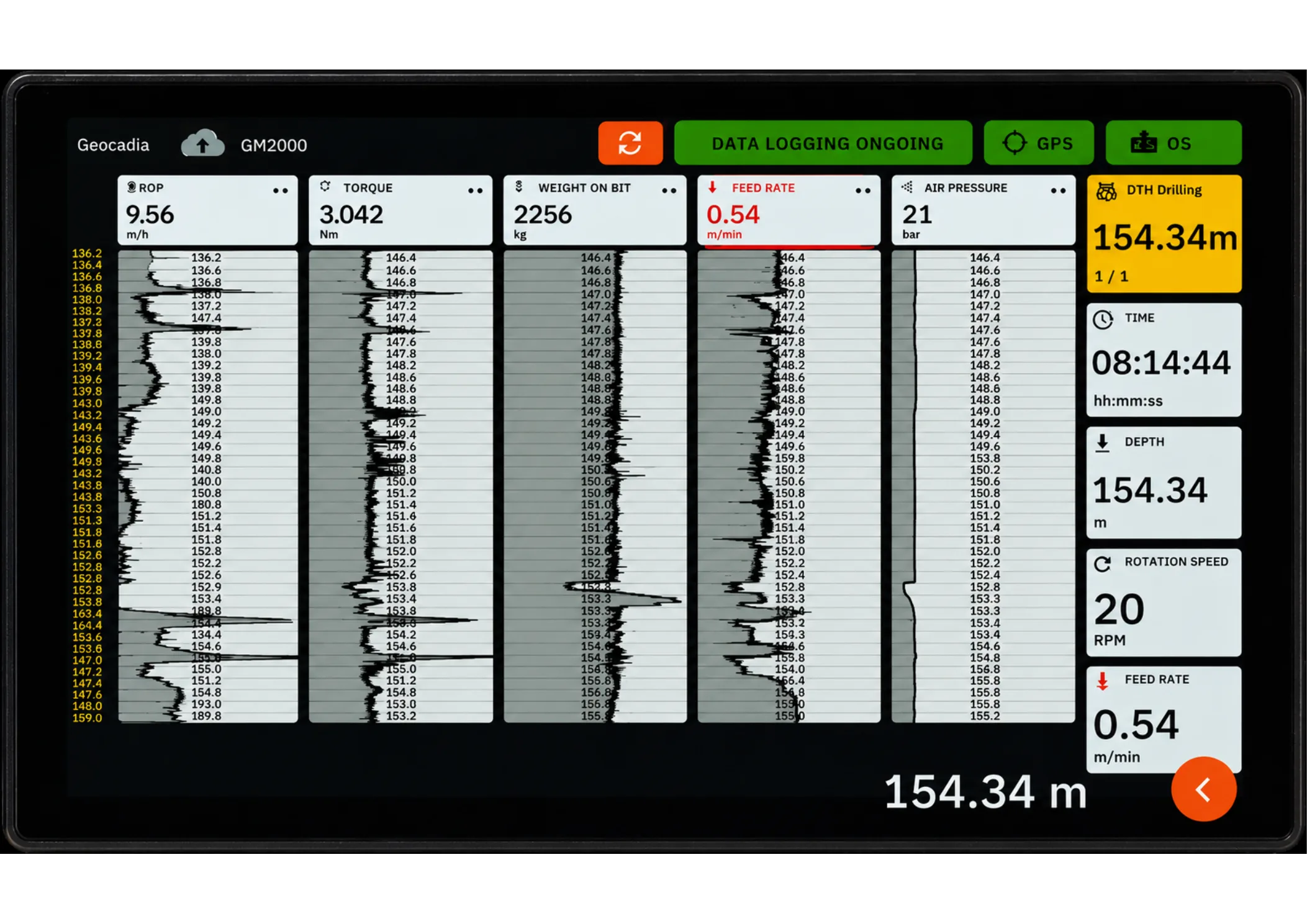
Depth, penetration rate, torque, weight on bit, feed and pressure are recorded so progress can be reviewed against the borehole plan and carried into handover.
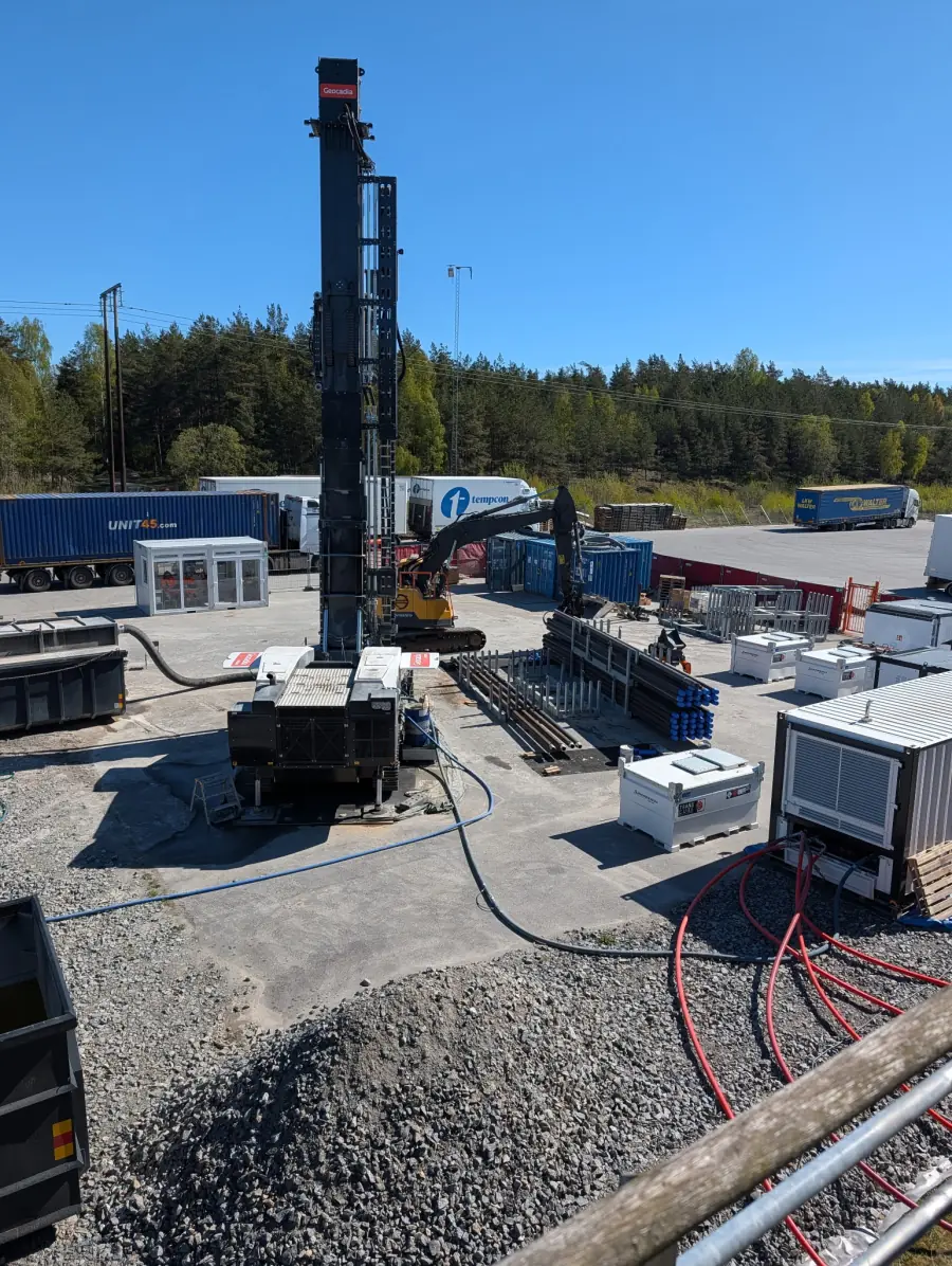
Automated drill-rod handling supports a more consistent work cycle and helps the field team coordinate equipment around the planned site layout. The example planning layout is 40 × 30 m; the final arrangement is property-specific.
From field to handover
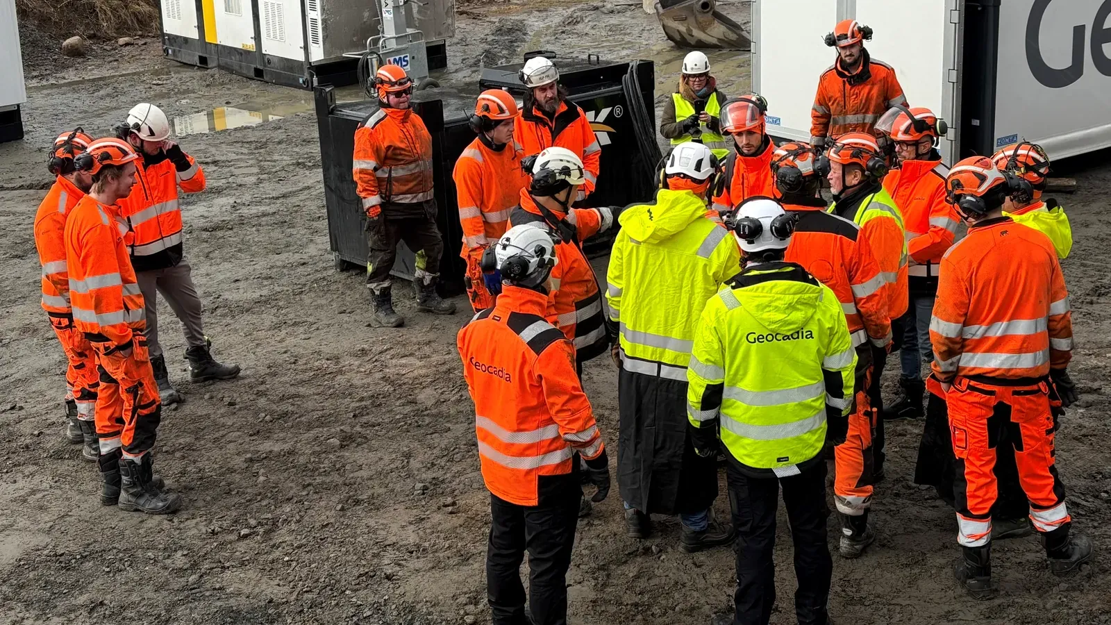
Controls and logs connect field work to the borehole plan, supporting progress reviews, commissioning and operation.
Available in 2027 · Future capability
The 2027 vision is a mature digital twin connecting property demand, geology, borehole design, drilling records and heating-centre operating data. AI-assisted analysis and expanded robotics are planned capabilities, not part of the current offer.
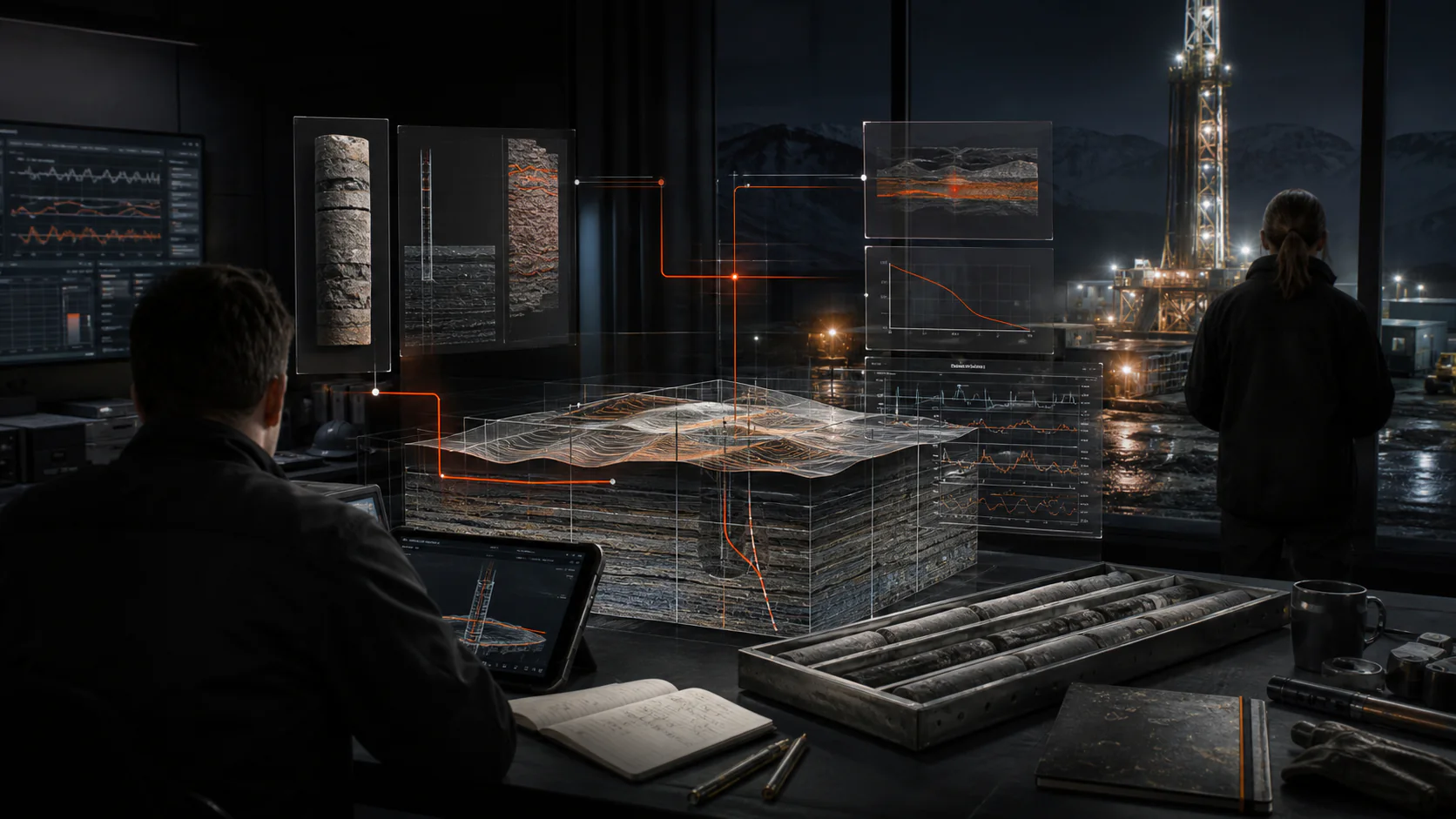
Bring property demand, geology, borehole design, drilling records and operating data into one connected view.
Surface changes that may affect delivery or performance before they become harder to resolve.
Use the system history to support preventive maintenance, optimisation and future work.
Apply robotics to more repeated field tasks so delivery becomes more consistent and measurable.